The bright morning on Tuesday allowed the thermometer to rise to a maximum 9.9C at 14.19, being 1.6C above the long-term average, before the increasing cloud before midday, from a minor weather front, thickened and brought light rain that triggered the automatic rain gauge at 16.10 with precipitation amounting 1.1mm. The cloud then cleared with clear skies observed at 21.00. The lack of cloud overnight meant any warmth dissipated into the atmosphere with the thermometer consequently falling steadily with a low temperature of 1.8C logged at 08.00, being almost exactly average for February, after which the rising sun made the thermometer rise again.
Wednesday revealed a sky with thin, high cloud, which meant that the sun was weak, but welcome. The cloud radar shows thickening cloud encroaching from the west that will limit sunshine today, but should be predominantly dry.
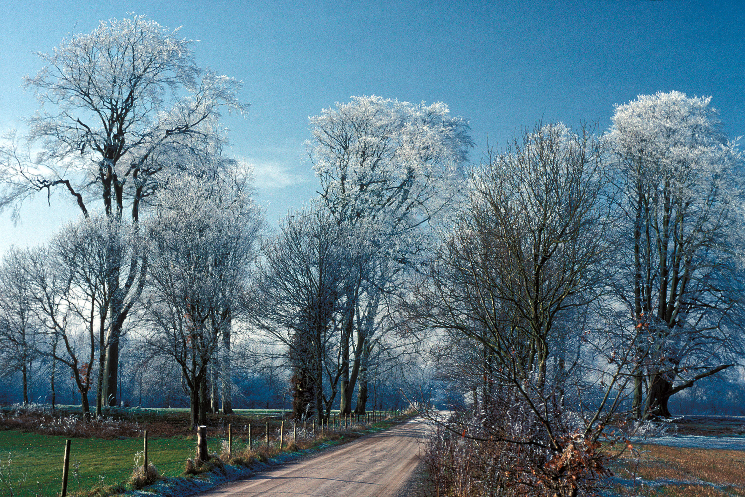
Today is a transition day as the recent high pressure that ebbed away has been building again with a barometric pressure reading of 1035.7mb at 08.00, the highest since 13th November. This anticyclone will grow and extend towards Scandinavia and Russia that will see the wind, circling clockwise, bring a much cooler air stream from the northeast later today and for the next few days. In fact the forecast is for this anticyclone to dominate well into next week so a very, cool few days ahead with the maxima several degrees below the February average and likely night frosts. Be prepared for a touch of winter!
