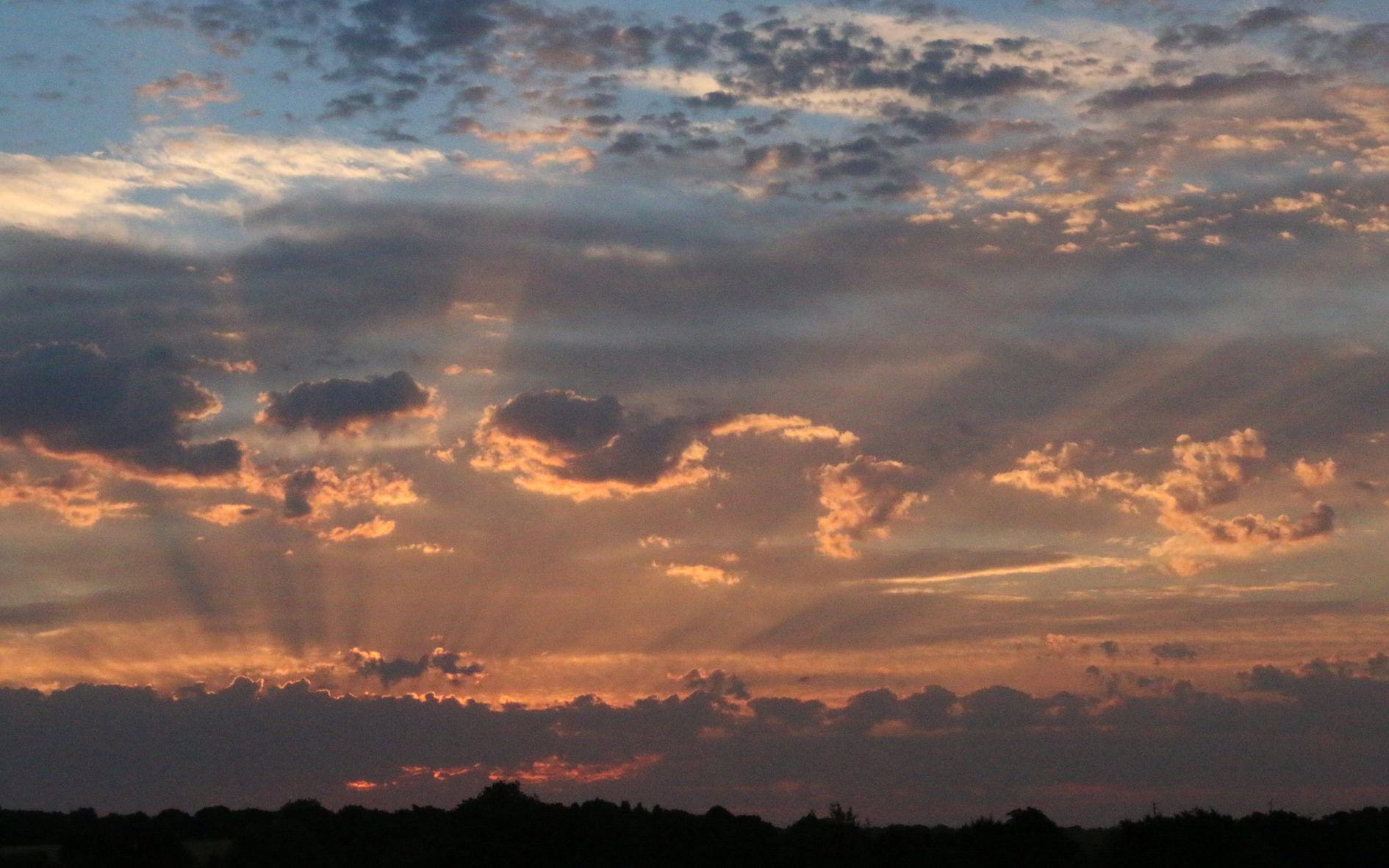
Wednesday was a cooler day again thanks to variable cloud cover that saw the thermometer rise to a maximum of 21.3C at 14.52. This high was again below my 40-year average at -1.4C as cloud began to thicken in the afternoon and the breeze began to pick up. A few rain spots were observed falling at 17.20 as a weather front crossed the area but it had been fragmenting as it approached our area. There were light drizzle showers overnight that amounted to 0.7mm. It was another very mild, humid night with the low of 14.9C some 3C above my average and occurring just after midnight. This was due to another weather front crossing our area bringing thicker cloud.
Thursday struggled to dawn as the cloud was low and thick with light drizzle. The humidity at 08.00, for the second consecutive day, was logged at 99%. The low cloud was draped over the Marlborough Downs and Savernake Forest, the local higher ground.
The very brief ridge of high pressure that gave a fine day on Wednesday has moved away and the depression to the northwest of Scotland is now taking charge with some precipitation today as the main rain band passes just to the south of our area.

